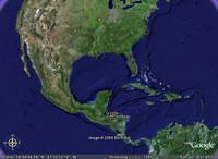
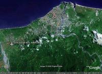
I could just go to Wikipedia and read about it, but I wanted a global perspective so I could get a "feel for it". So I started up Google Earth, typed in "La Ceiba, Honduras" and watched the camera pan over to the northern coast of Honduras. (Click for larger images.)


That's pretty convenient, I'd say. I love technology... :-) You can read a decent review of Google Earth here.
No comments:
Post a Comment